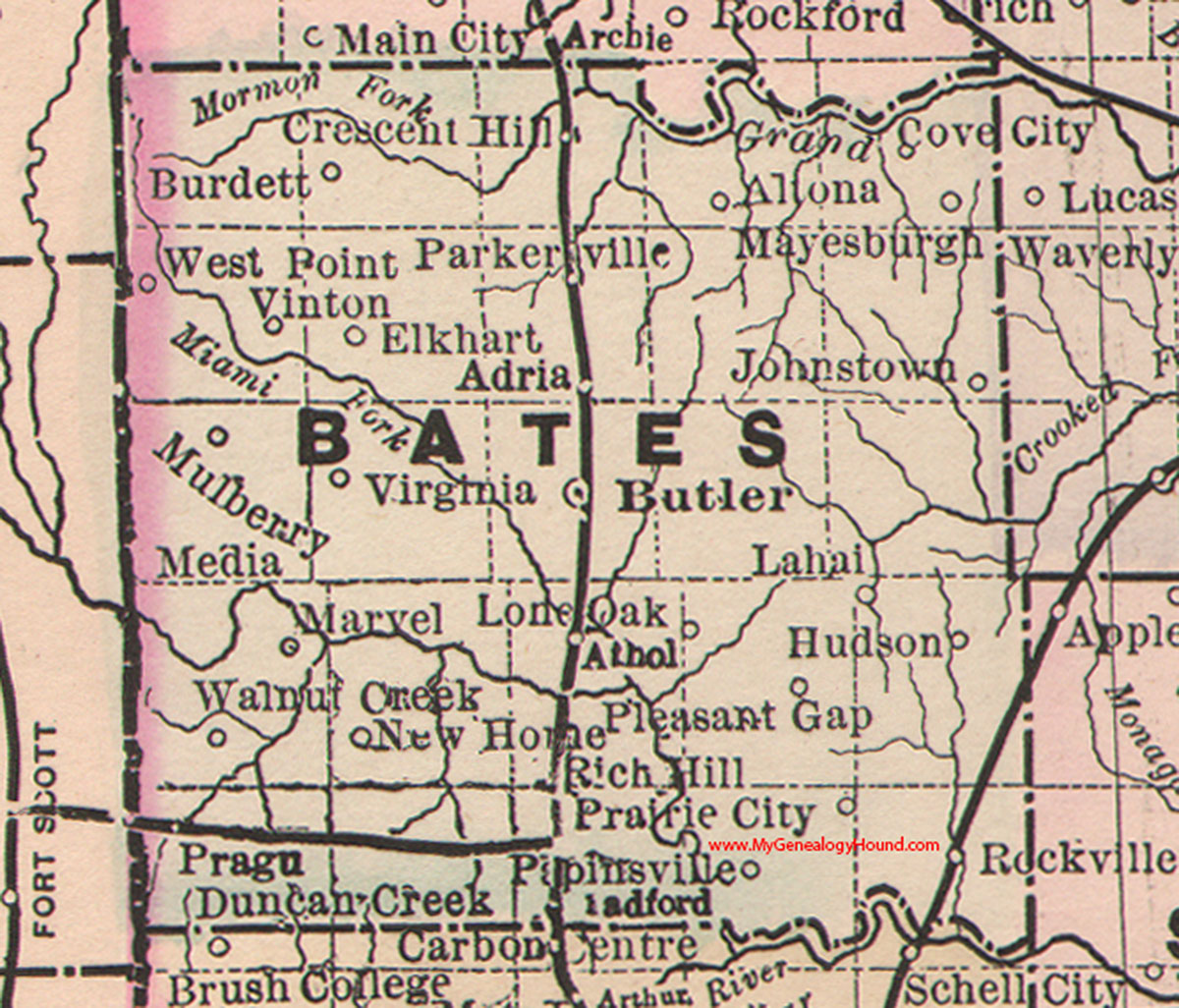
Rockville Township is one of twenty-four townships in Bates County, Missouri, and is part of the Kansas City metropolitan area within the USA. As of the 2000 census, its population was 271.
Rockville Township was established in 1872, taking its name from Rockville, Missouri.
Geography
According to the United States Census Bureau, Rockville Township covers an area of 25.17 square miles (65.19 square kilometers); of this, 24.67 square miles (63.89 square kilometers, 98.01 percent) is land and 0.5 square miles (1.3 square kilometers, 1.99 percent) is water.
Cities, towns, villages
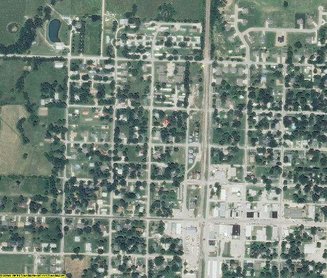
- Rockville
Adjacent townships
- Hudson Township (north)
- Appleton Township, St. Clair County (northeast)
- Taber Township, St. Clair County (east)
- Speedwell Township, St. Clair County (southeast)
- Bacon Township, Vernon County (south)
- Blue Mound Township, Vernon County (southwest)
- Prairie Township (west)
- Pleasant Gap Township (northwest)
Cemeteries
The township contains Rockville Cemetery.
Airports and landing strips
- Heiman Field
Lakes
- Horseshoe Lake
- Jones Lake
School districts
- Appleton City R-II
- Rich Hill R-IV
Political districts
- Missouri's 4th congressional district
- State House District 120
- State Senate District 31
References
- United States Census Bureau 2008 TIGER/Line Shapefiles
- United States Board on Geographic Names (GNIS)
- United States National Atlas
External links
- US-Counties.com
- City-Data.com